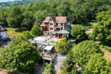
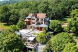
Le Manoir des Sens


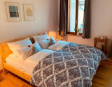

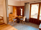
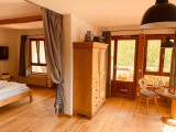
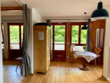

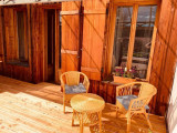


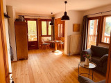
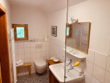
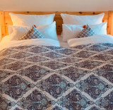

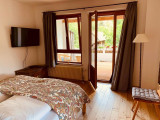
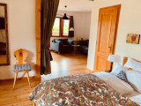
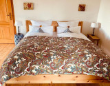
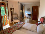
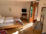

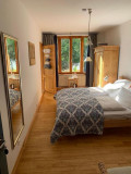
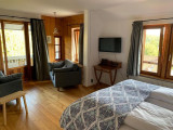


LOGEMENT
- Location :
- In the town/village centre
- Mountain
- Accommodation capacity (according to classificat.) :
- number of people 12
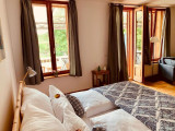
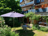
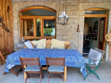
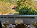
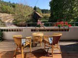
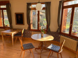
EQUIPEMENTS
- Comfort accommodation :
- TV
- External facilities of the accommodation :
- Shared garden furniture
- Shared garden
- Possibility of Internet connection :
- Free wi-fi

Directions to :
21 route du haut koenigsbourg 68750 Bergheim
Annexe de Thannenkirch
68590
Thannenkirch
GPS coordinates
Latitude : 48.23498
Longitude : 7.30684